MOSCOW (27/2 – 21/3 2018)
First mentioned: 1147
Urban agglomeration land area: 2 561,5 km2 *
Urban population: 12 480 000 **
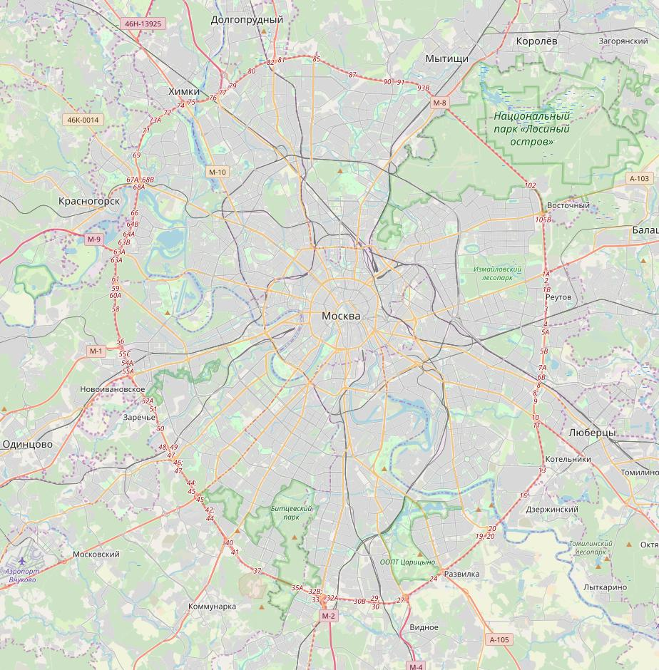
Moscow is the indisputable center of Russian Federation with a larger population and land area than any other Russian city. Since medieval times the Kremlin fortification became the city’s core and remains so until today together with the adjacent Red Square. Moscow’s urban plan is characterized by several concentric circular roads expanding from the center and being intersected by large linear boulevards, which together form a target-resembling shape. The Garden Ring and/or the circular subway line 5 defines what is today considered as Moscow’s central part. The Moscow Automobile Ring Road (MKAD) represents a clear physical border between the city of Moscow and the surrounding Moscow Oblast region.
The main mode of public transportation around the city is Moscow’s extensive subway system supported by the suburban trains, buses, trams and trolleybuses. Car transportation is also very common since the private ownership of cars grew rapidly in 1990s and 2000s, even though the traffic jams are an everyday issue.
During my stay in Moscow I was mainly (but not only) focusing on the articulation of the aforementioned circular roads, which I have found crucial to the city’s urban plan/flow of people. Starting with the walk around Red Square, I continued by circling around its longer ring roads either by walking or using buses and subway. My other activities included one day long performance-research in a subway, site-specific performance at Patriarshiye Ponds, performance in the Artifex art space, giving interview and artist talks or exploring the city’s suburban areas.
* Source: Russian Federation Federal State Statistics Service, 2013
** Source: Russian Federation Federal State Statistics Service, 2015
Click on the map below to read more about my artistic research conduced in Moscow: